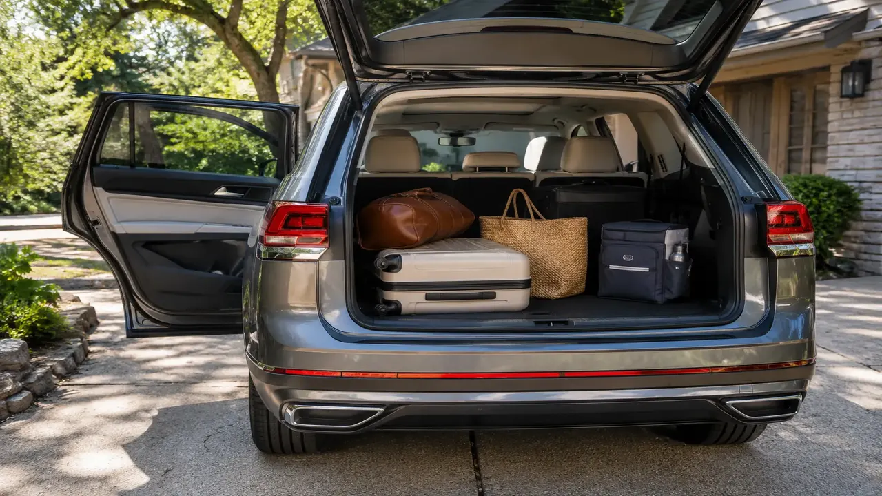
Diaries in this hub cover the full ~2,450-mile (3,940km) historic corridor from Chicago to Santa Monica, typically driven over 10-14 days at a relaxed pace. The most-repeated advice: don't rely on the interstate that replaced much of the original route for the "experience" — the surviving original alignments are where the diners, motels and roadside landmarks actually are, and GPS apps default to the faster interstate unless you route around it deliberately.
At a glance
| Metric | Typical community-logged figure |
|---|---|
| Full corridor distance | ~2,450 miles / 3,940 km |
| Typical trip length | 10–14 days at a relaxed pace |
| Most-logged desert hazard | Summer heat, especially Arizona/California legs |
| Navigation issue | GPS defaults to interstate, not the historic alignment |
| Most-photographed stretch | Arizona (Seligman, Oatman) and New Mexico |
What this hub collects
Route 66 diaries from published owner reports document the real experience of driving the historic corridor end to end or in sections — what's still drivable on the original alignment, where it's been swallowed by the interstate, and what actually breaks on a two-week cross-country trip through eight states and some serious summer heat.
Planning numbers owners actually used
- Most full-route diaries log 10-14 days end to end, though several owners note they'd budget closer to 3 weeks if doing it again to properly stop at roadside attractions.
- Fuel and lodging costs vary enormously by state; owners flag rural Oklahoma, Texas Panhandle and New Mexico stretches as having sparser services than the Illinois and Missouri legs.
- Vehicle choice matters less than most expect — sedans, SUVs and even motorcycles all appear regularly in diaries; reliability and AC matter more than off-road capability since almost the entire route is paved.
- Cell signal gaps through parts of the Arizona and New Mexico desert stretches are commonly logged, so owners recommend downloading offline maps in advance.
The navigation trap almost every diary mentions
By far the most-repeated tip: standard GPS navigation will default to I-40, I-44 and other interstates that replaced Route 66 in most states, because they're faster. The historic diners, motor courts and landmarks that make the trip worthwhile are almost entirely on the surviving original alignment, not the interstate. Owners strongly recommend a dedicated Route 66 map/app or manually routing through the historic town centers rather than trusting default turn-by-turn directions.
Heat and vehicle-care lessons
- Check coolant and AC system health before starting, especially for summer trips through the Arizona and Southern California desert legs — several diaries mention overheating incidents in older vehicles.
- Carry extra water for both the vehicle and passengers through remote desert stretches, not just as a general precaution.
- Watch tyre pressure and condition — sustained high desert-highway temperatures and speed increase blowout risk, particularly on older tyres.
- Plan fuel stops proactively through the sparser rural stretches rather than waiting for the low-fuel light, echoing advice seen across other long-distance diaries in this network.
Use a dedicated Route 66 map/app, not default GPS — turn-by-turn navigation will route you onto the interstate and past most of what makes the trip worthwhile. Budget extra days beyond the minimum drivable time; almost every diary in this hub says they wished they'd allowed more time to stop.
Share your Route 66 diary
Submit your route segment, vehicle, dates and one thing you'd do differently through the community dashboard — partial-route diaries (a single state or region) are just as welcome as full end-to-end logs.
Frequently asked questions
How long does it take to drive all of Route 66?
Does GPS navigation follow the real Route 66?
Do I need a special vehicle to drive Route 66?
What's the biggest hazard on a Route 66 road trip?
Which states have the sparsest services along Route 66?
Sources & further reading
- National Park Service — Route 66 Corridor Preservation Program
- U.S. Route 66 Interpretive Center / state tourism route guides
Figures, prices and policy details were current at the last-updated date above. Automotive pricing, incentives and regulations change frequently — verify time-sensitive details with the linked primary sources. Read our editorial policy and fact-checking standards.